Habitat mapping can help establish the current state of nature in your local neighbourhood and help you identify areas that could be revitalised or changed to benefit the local nature and your local community.
First steps
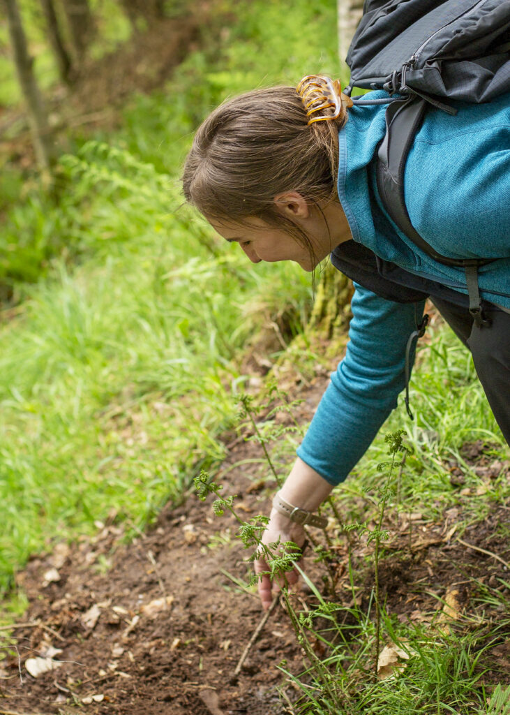
Print out a map of your local area – this can be a simple screenshot from google maps – and go for a walk. As you walk around your area, make notes of the different habitats you see and highlight these sections on your map. These could be:
- woodlands
- rivers
- farmland
- fields
- housing
- gardens
- playgrounds
- ponds
This can help you think about the different actions for nature you might focus on, and you can see if there are any areas within your community that would benefit from a change.
Wildlife surveys
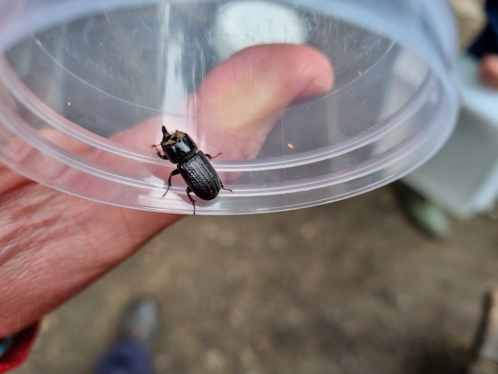
Conducting some simple wildlife surveys will help you understand what wildlife already lives in the areas you’ve highlighted. For example, if you see lots of swallows you may want to create nesting sites for them. If you have noted gardens or green spaces, you could look at adding a wildflower meadow and additional pollinators here. Add notes about the different wildlife you see on your habitat map.
Our resource page on Wildlife Surveying provides more information about surveying as well as guides for different types of surveying and how to carry them out.
Research
Take some time to research lost habitats that used to be in your local area that could be recovered. This will help you understand what habitats and species might have been lost that could thrive again locally. You don’t want to introduce new species that may not be supported by the landscape, so this research will help you avoid that. Here are a few good places to start:
- Ask locals who have been in the area a long time or people with long running local businesses.
- Ask any local reserve staff (Scottish Wildlife Trust, Royal Society for the Protection of Birds, National Trust for Scotland, country parks staff, Forestry and Land Scotland).
- Look at local council archives.
- Ask housing development companies.
- Contact your local area officer from Naturescot.
- Contact local natural history groups.


Ecological connectivity
Another important consideration when thinking of actions for nature is to look at how nature connects around your local area.
Urban areas often break up nature and create isolated islands of habitat which can increase the risk of species being lost altogether. To increase connectivity, think of actions that can help join existing patches of nature together. For example, connecting wildflower meadows with small corridors of wildflowers through housing estates, or connecting two woodlands by planting trees along a roadside verge.
Useful links
- NBN Atlas Scotland is a free online portal that educates and informs people about Scotland’s natural world. It allows users to view species records together with other environmental information such as habitat information and geographical boundaries and to download and export maps and reports or summaries for your own use.
- NatureScot is Scotland’s Nature Agency. It has a vast amount of information regarding Scotland’s habitats.
- Scotland’s Environment brings together environmental information and data in one place so that is easy to search, discover, analyse and interpret. , as well as Scotland’s Environment Interactive Map and the Land Information Search tool.
- Find your local reserves: Scottish Wildlife Trust, Royal Society for the Protection of Birds, National Trust for Scotland, Forestry and Land Scotland.
- If you’d like to learn more about working with your community to promote positive action for nature, you can now join our free online Pioneers Programme course. Find out more about the programme and register for free here.
